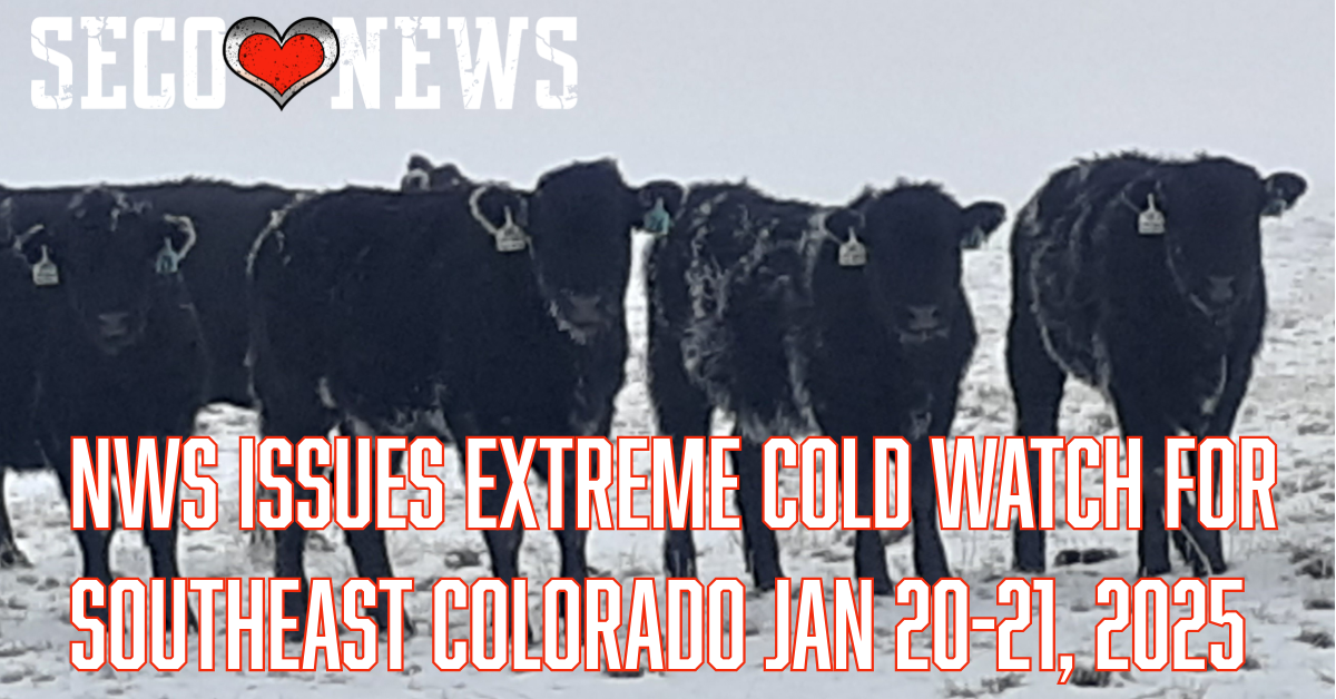
NWS Issues Extreme Cold Watch for Southeast Colorado Jan 20-21, 2025

Description: The National Weather Service Office of Pueblo has Issued an Exteme Cold Watch for Southeast Colorado on Jan 20 - 21, 2025...
NWS Issues Extreme Cold Watch for Southeast Colorado through Jan 21, 2025
URGENT - WEATHER MESSAGE National Weather Service Pueblo CO 741 PM MST Sat Jan 18 2025...
Canon City Vicinity/Eastern Fremont County-Colorado Springs Vicinity/Southern El Paso County/Rampart Range Below 7400 Feet- Pueblo Vicinity/Pueblo County Below 6300 Feet-Walsenburg Vicinity/Upper Huerfano River Basin Below 7500 Feet-Crowley County-La Junta Vicinity/Otero County-Eastern Las Animas County- Las Animas Vicinity/Bent County-Lamar Vicinity/Prowers County- Springfield Vicinity/Baca County- Including Lamar, Colorado Springs, Peterson Space Force Base, Branson, Pueblo, Penrose, Walsh, Springfield, Walsenburg, La Junta, Canon City, Olney Springs, Rocky Ford, Las Animas, Kim, and Ordway 741 PM MST Sat Jan 18 2025
...EXTREME COLD WATCH REMAINS IN EFFECT FROM MONDAY AFTERNOON THROUGH TUESDAY MORNING...
* WHAT...Dangerously cold wind chills as low as 25 below possible.
* WHERE...Portions of central, east central, and southeast Colorado.
* WHEN...From Monday afternoon through Tuesday morning.
* IMPACTS...The dangerously cold wind chills as low as 25 below zero could cause frostbite on exposed skin in as little as 30 minutes.
* ADDITIONAL DETAILS...The coldest temperatures and wind chills will occur Monday night through Tuesday morning.
PRECAUTIONARY/PREPAREDNESS ACTIONS... Dress in layers including a hat, face mask, and gloves if you must go outside. Keep pets indoors as much as possible. Make sure outdoor animals have a warm, dry shelter, food, and unfrozen water. Make frequent checks on older family, friends, and neighbors. Ensure portable heaters are used correctly.
Do not use generators or grills inside.
Related Content:
Otero County First Responders Busy with a Rollover and Multiple Trucks in Ditch Due to Winter Roads


.png)


