.png)

Heavy Rain Triggers Flooding and Debris Flows in Colorado Burn Scar Areas
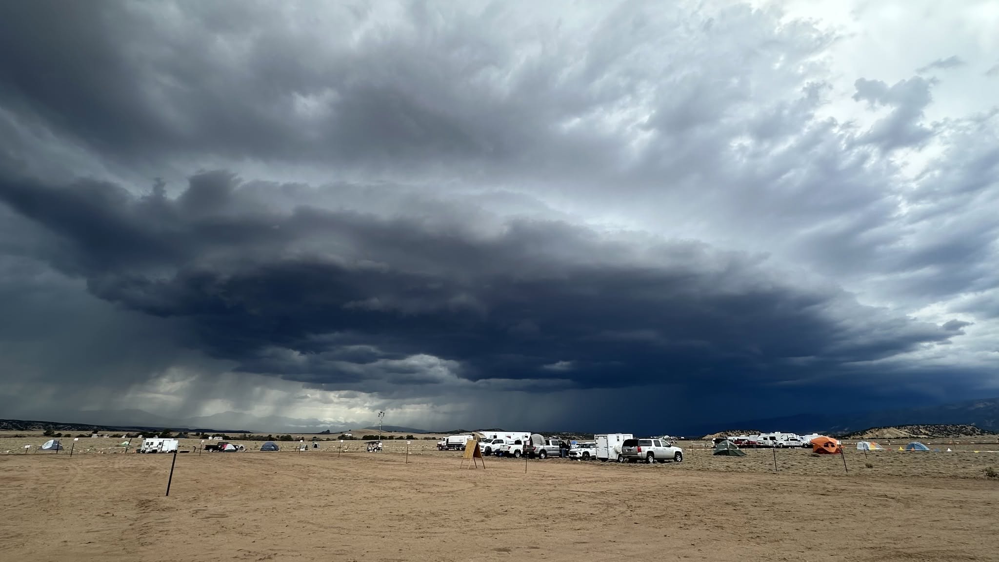
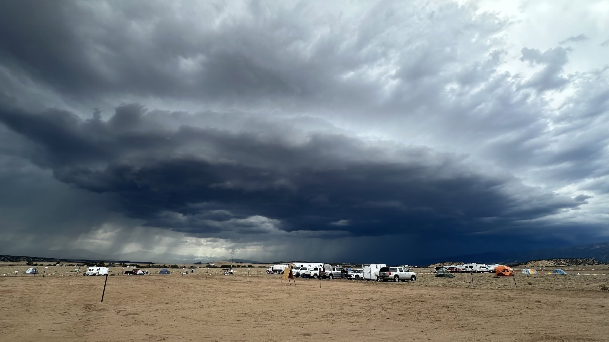
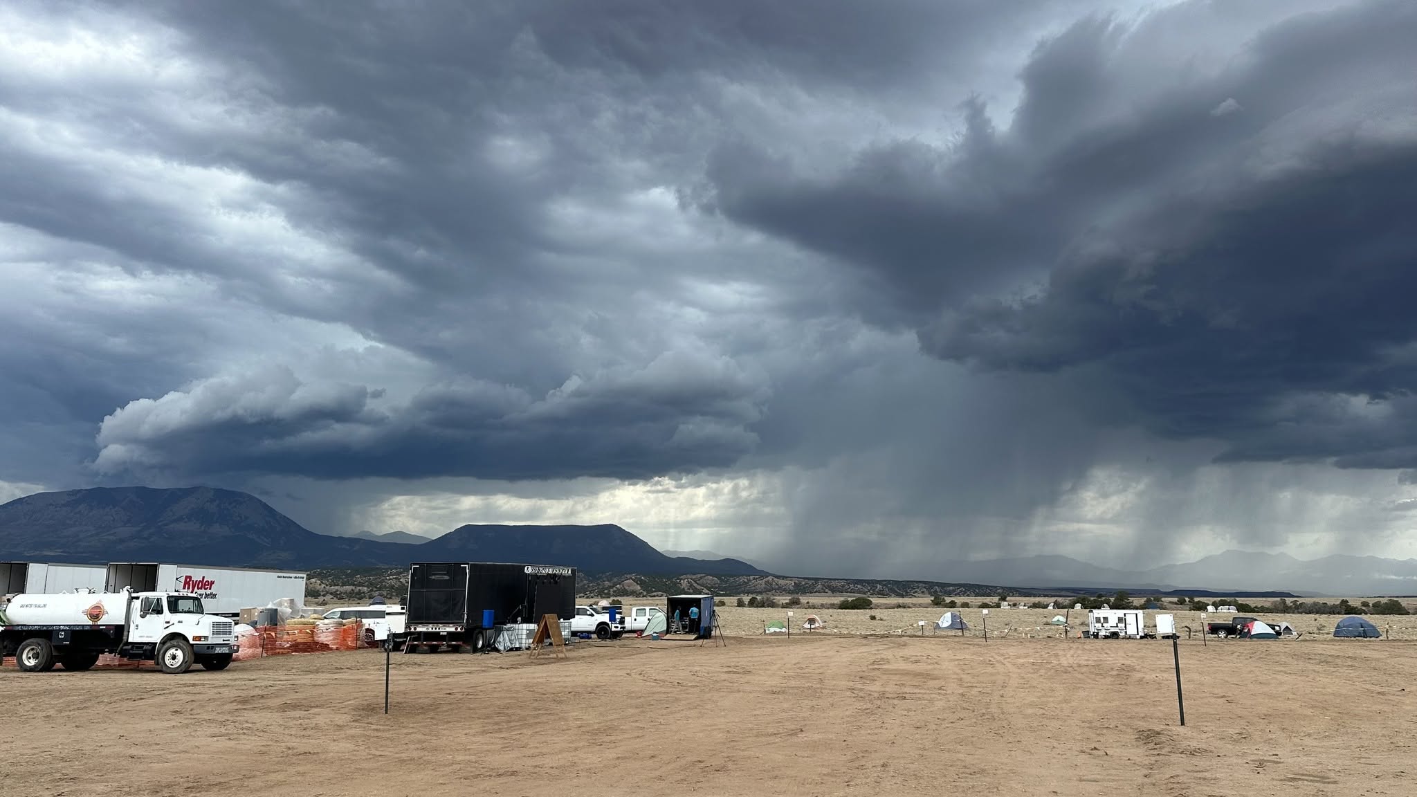
Description: Heavy rain and 50–60 mph wind gusts triggered local flooding and debris flows across Colorado burn scar areas. Fire officials warn additional rainfall could increase the risk of flash flooding and mudslides...
Yesterday's intense storm triggered local flooding and debris flows, fueled by 1 to 1.5 inches of rain and 50–60 mph wind gusts. Our fire meteorologist noted that we should expect additional precipitation today.
How does a debris flow develop? Well, it's a fast-moving mixture of water, soil, and rock that rushes down slopes and valleys. Because it contains a high concentration of solid material, it acts more like wet concrete than flowing water, giving it the momentum to carry heavy boulders and logs. While these events frequently happen in wildfire burn scars due to the loss of vegetation, they can occur on any steep slope if the right combination of soil, terrain, and rainfall occurs. To understand how a debris flow forms, think of a stable hillside like a dry sponge that absorbs a typical rainfall. However, if a sudden, intense storm drops a large amount of rain in a very short window, the ground becomes oversaturated and unable to absorb water fast enough. The water rushes across the surface, picking up loose topsoil, rocks, and organic material. As this mixture channels into ravines, it gains volume and momentum. Whether a slope is unburned or altered by a wildfire, a debris flow will only develop if the rainfall is intense enough and the terrain is steep enough to mobilize the soil; otherwise, the area experiences normal water runoff.
Pueblo County Sheriff's Office Custer County Sheriff's Office Huerfano County Sheriff's Dept. Fremont County Sheriff's Office - Colorado Beulah Fire Protection and Ambulance District Colorado Division of Fire Prevention and Control U.S. Forest Service - PSICC National Forest

Image Gallery